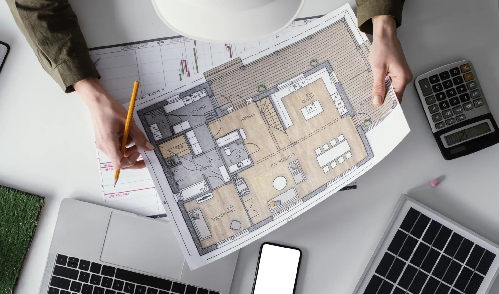
Topography is the science dedicated to the study of land and its forms through coordinates (X, Y, Z), planimetric and altimetric, through which a three-dimensional representation of the terrain can be made.
This science is one of the primary tools for civil engineering, it is responsible for geometry to process and disseminate information on the physical, geographical, and geological characteristics of a certain terrain to later bring them to a plane and carry out construction projects.
On rough terrain, topography is even more important, as unevenness can make construction difficult and increase costs. For example, if the terrain is very steep,
it may be necessary to build retaining walls or embankments to level it. Which will result in a significant increase in construction costs.
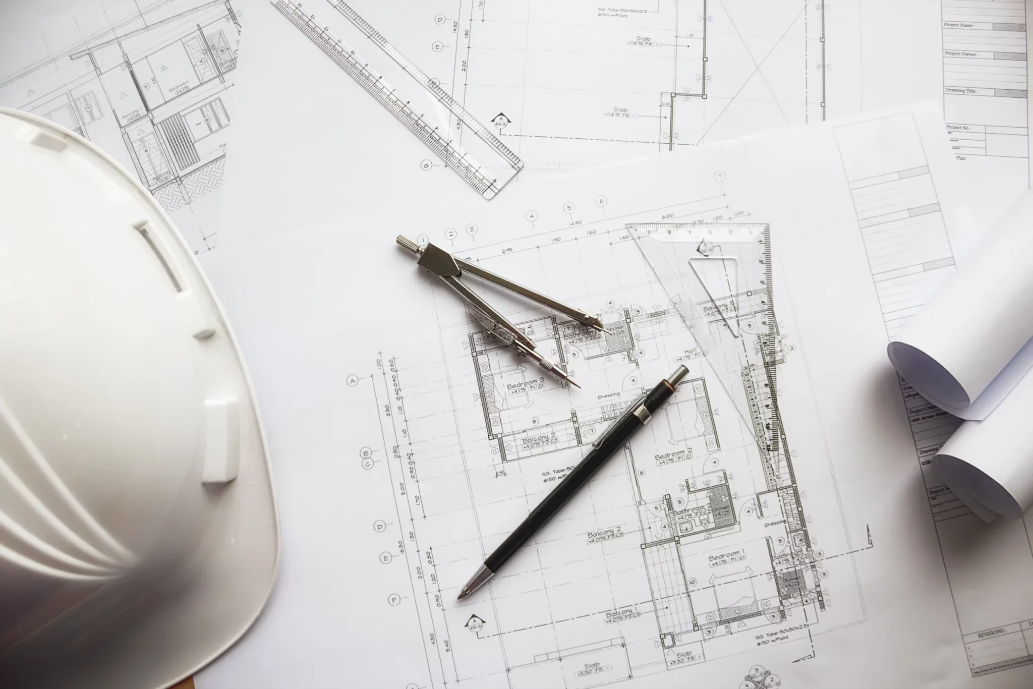
To measure the surface of the land it is necessary to make use of different techniques, including the use of theodolites, levels, and total stations, to obtain precise information for the creation of maps and plans that help make decisions about the design and building of a project.
Within the construction services offered by SILMÉXICO, we take care of carrying out soil studies with the help of topography, visiting the site to reconnoiter the terrain,
and reviewing where the key points will be, such as the baseline, landmarks, and necessary references. In the case of photogrammetry, a drone is used for a preliminary flight to reconnoiter the terrain and the area, to plan another flight for a later visit, with this information a work table is made in which the surveyor selects which are the coordinate points to be able to do its survey, either with a total station, with a GPSRTK or with a drone, once this work is done, that cloud of points is processed to be able to define the sections and profile that will help to know the conditions of the terrain to seed the architectural project and match it physically. All this is done by returning to the field and restating the tied project.
Once the data has been compared in the field and the office, the work is carried out, in which topography continues to play the main role, since it is in charge of laying out and leveling the land that will be cut to form the platform on which the construction will be planted, the topography will closely follow the entire construction process of the work, since with its guide the outline of the walls and placement of the floor levels will be carried out. Likewise, care will be taken to avoid collapses in the walls and columns during the process. At SILMÉXICO we will help you ensure that your construction is in optimal conditions throughout the process, taking care of each of the vertical and horizontal details.
For more information about our wide range of construction, accounting, marketing, and legal services in the real estate branch, contact us through any of our communication channels,
info@silmexico,
951 127-13-80,
or visit any of our offices in the state of Oaxaca.